
 01
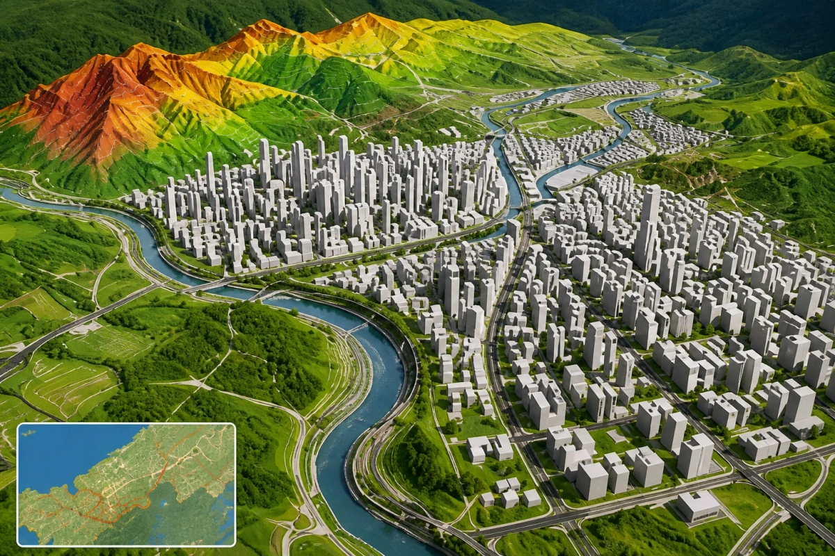
01mapping
Cartography and visualisation
Clear, purpose-built maps that turn spatial information into a format people can read, present and use.
Capability index / 11 services
Explore the mapping, monitoring and spatial analysis capabilities Asakhe Geospatial Solutions brings to land, environmental and planning questions.
02 / Capability browser
Filter the capability index by the type of question or environment you are working with.
Showing all 11 capabilities
01mapping
Clear, purpose-built maps that turn spatial information into a format people can read, present and use.
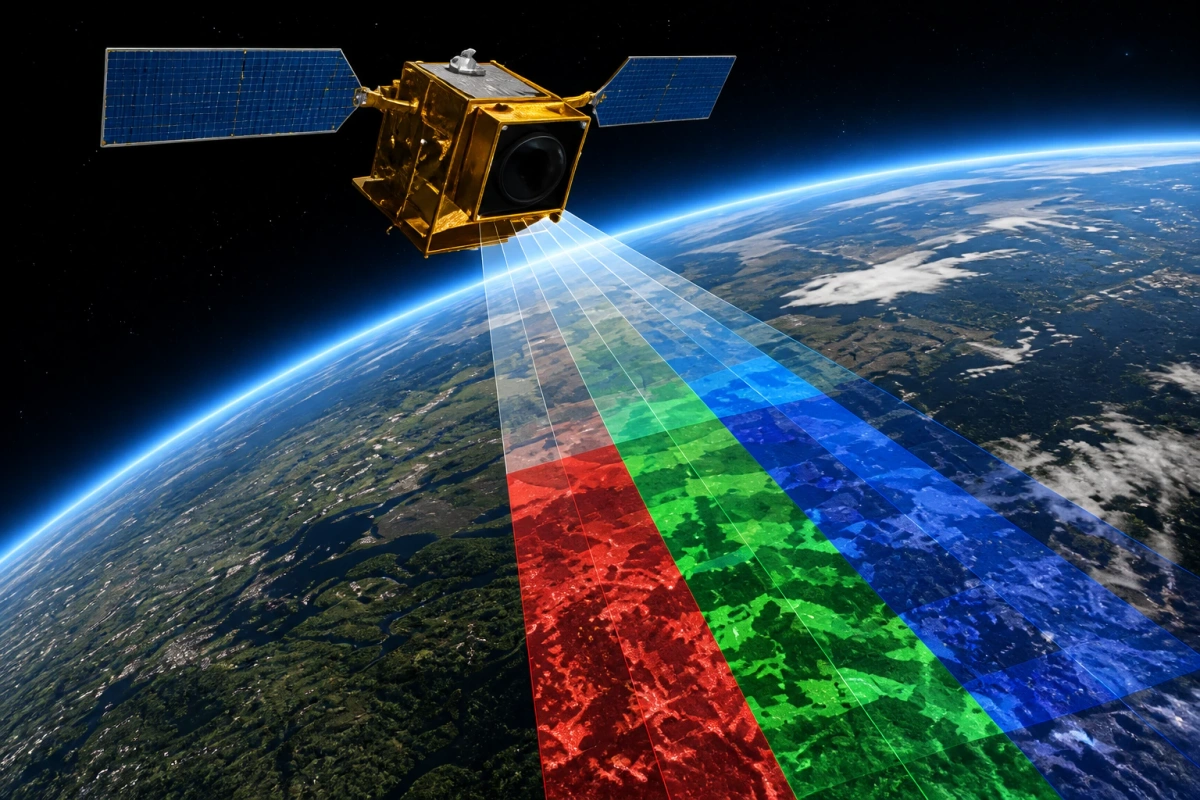
02environment
Satellite and aerial imagery interpreted to reveal patterns, conditions and change across large areas.
 03
03data
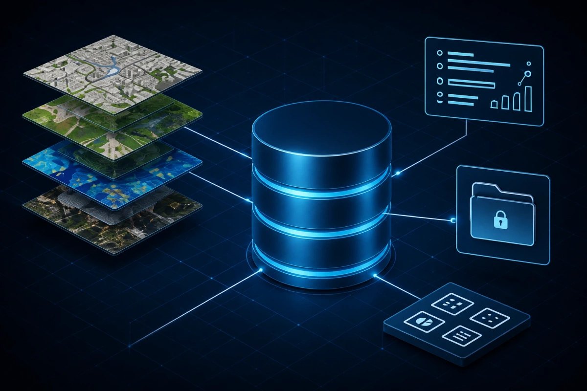
Spatial data structures designed for organised access, consistent records and dependable analysis.
 04
04environment
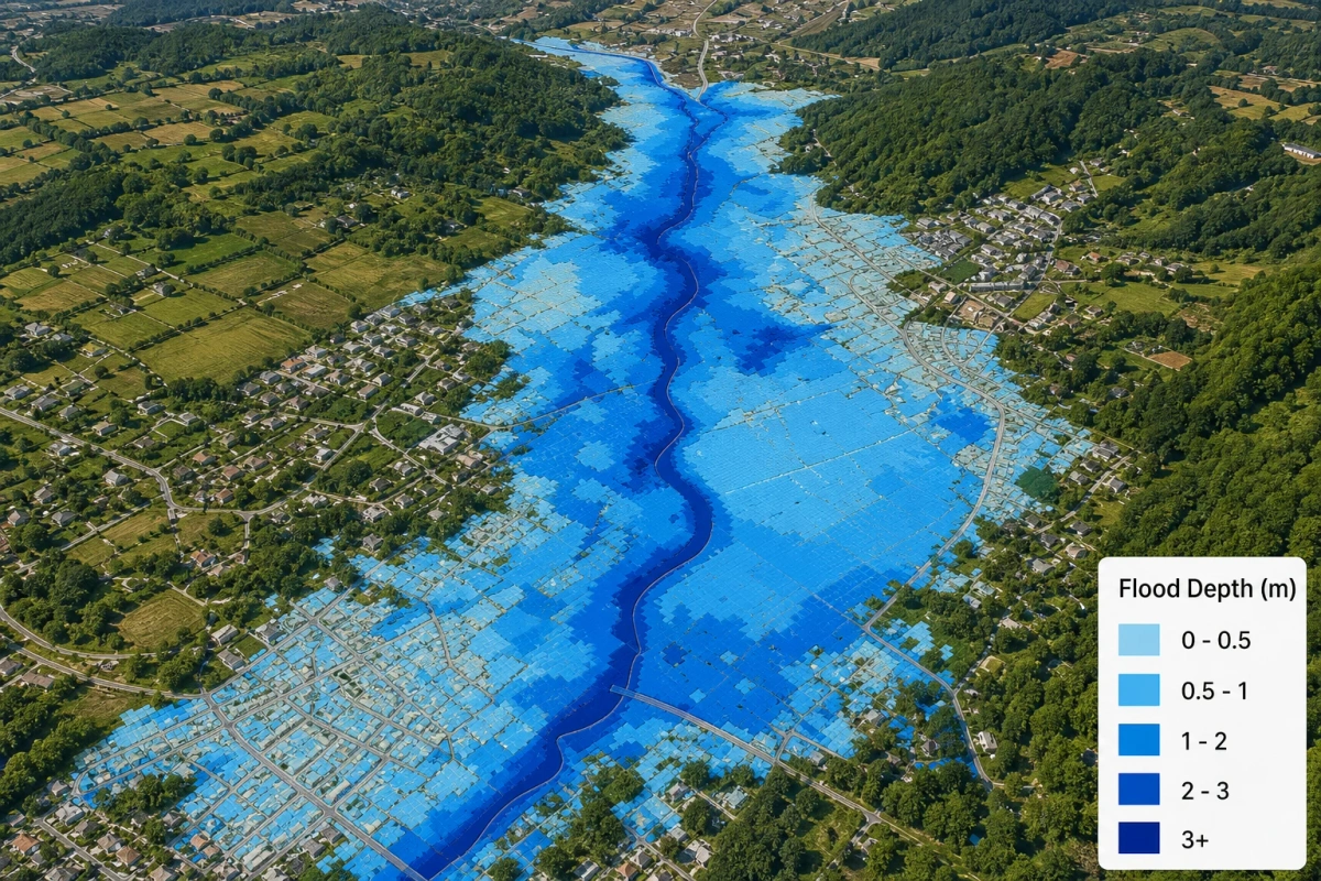
Location-based risk views that support planning around water extremes and exposed areas.
 05
05agriculture
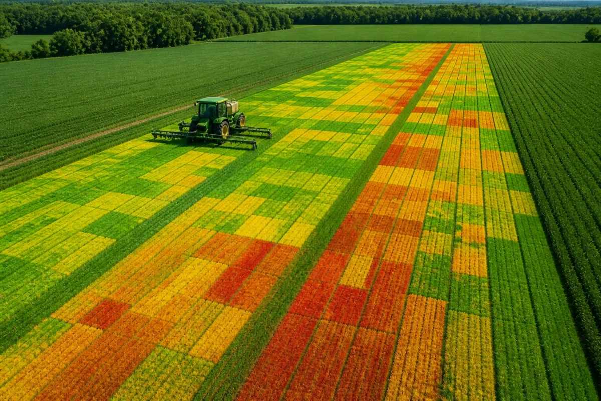
Spatial planning inputs that help connect field conditions, land use and agricultural decisions.
 06
06agriculture
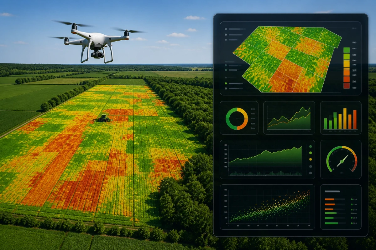
Imagery-led monitoring of vegetation health, condition and yield indicators over time.
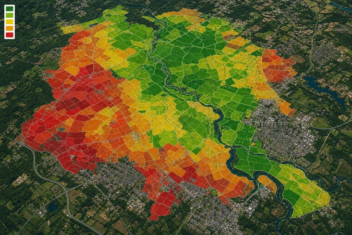
07mapping
Multi-factor spatial assessment that helps compare where proposed land uses may be better suited.
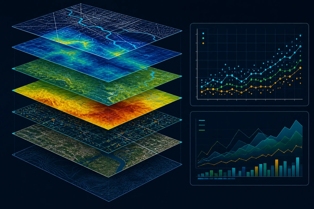
08data
Layered spatial analysis used to explore relationships, test scenarios and communicate findings.
 09
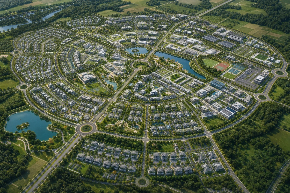
09mapping
Mapped layout concepts that bring sites, access, land parcels and planned uses into one view.
 10
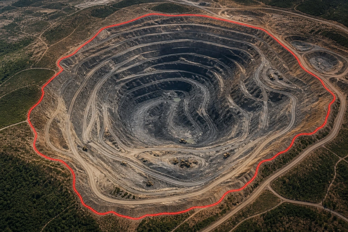
10environment
Spatial definition and visualisation of mining areas to support monitoring and land-use understanding.
 11
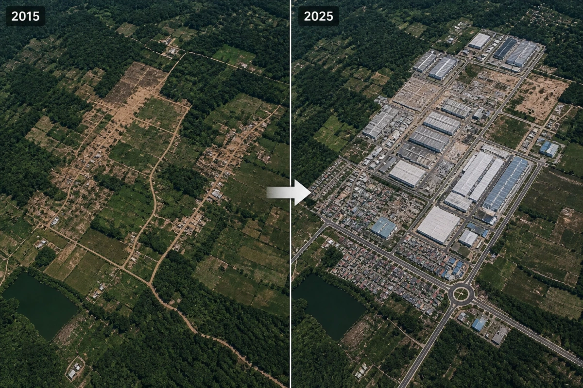
11environment
Time-based comparison of imagery to identify and communicate visible changes in land use.
Bring the question
Start with the place, the challenge and what you need to understand. Asakhe Geospatial Solutions can help frame the spatial requirement.
Call +27 60 669 8099